AccuWeather forecasters say the future forecast is bad news for those looking for a lengthy stretch of dry weather throughout swampy portions of the south-central United States.
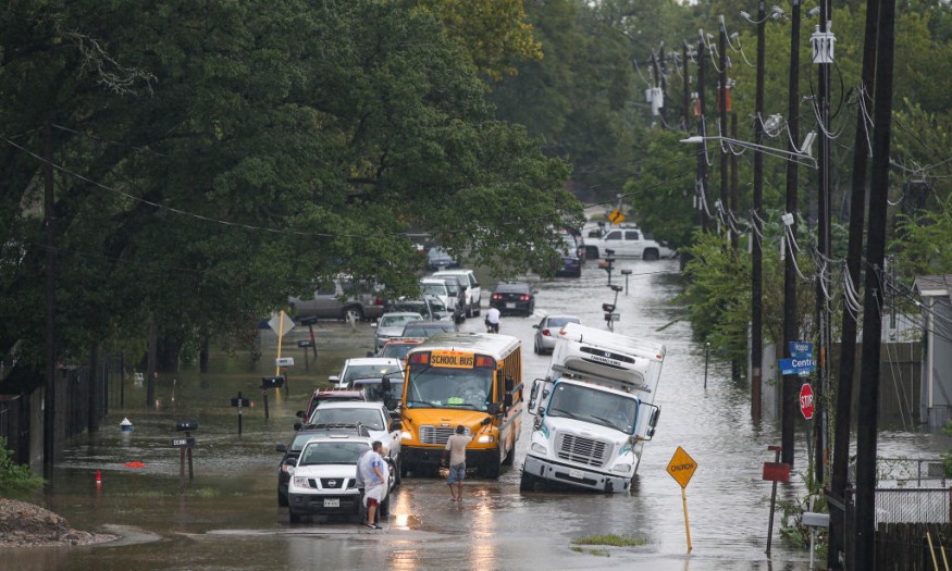
The likelihood of urban and river flooding will increase as much more rain is forecast to fall on parts of the south-central United States and the northwest Gulf Coast region into next week, with the potential for dangerous flash flooding and possibly even when flooding disaster downpours are most persistent.
According to Meteorologist Brandon Buckingham, further flooding in the region is nearly a certainty.
"The intensity and breadth of flooding throughout next week will be determined by how much rain falls [and] how regularly," Buckingham said.
Related Article : Even as Summer Starts, Relentless Thunderstorms Could Bring Flood in Texas, Louisiana
Rainy Days
Since May 10, there have been far more rainy days than dry days in most areas that have not suffered floods. While the powerful Texas and Louisiana sunshine may remove a lot of moisture at this time of year, bright days have been few, and ground conditions are often damp to saturated.
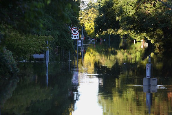
Because of the saturated state of the soil, much of the rain that falls in the near future will flow off rather than soak in. As a result, low-lying regions will be flooded due to the runoff, which will result in small streams, bayou, and river flooding.
Because of the chilly air above the earth, the storm would be able to produce showers and thunderstorms even if there wasn't much moisture. This configuration permits clouds to rise to the sky, resulting in downpours and strong storms.
Other considerations include the storm's sluggish track and the chance that precipitation from the Gulf of Mexico would continue to flow in after it has passed. On a regional scale, this configuration can result in areas of extreme rainfall and floods.
5-10 Inches of Rain
From Friday through Wednesday, a total of 5-10 inches of rain is expected from central Texas to central Louisiana. Although not every region will receive that much rain, some areas may receive far more. In a few places, and most likely within that zone, a Local StormMax of 24 inches is possible.
Frequency
It will not rain continually in the area where the most rain is expected, but when it does, the downpours will be heavy, causing significant flash and urban floods. This may increase the possibility of substantial increases in local rivers and bayous, perhaps resulting in a flooding calamity.
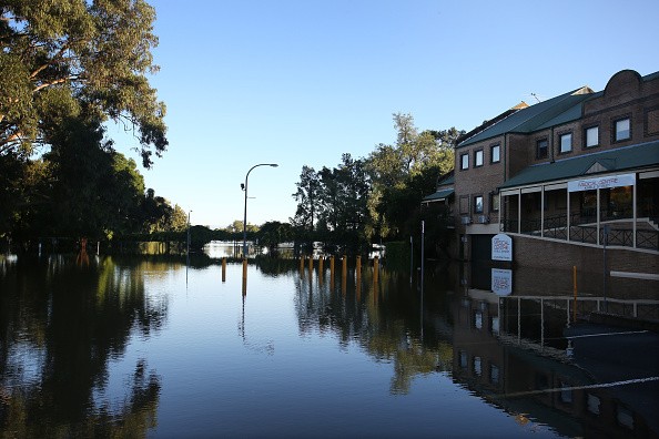
Flooding
Outside of the area with the strongest forecast rainfall, downpours can be significant, resulting in flooding.
As of Friday, June 4, most of the main rivers from Texas to Louisiana were slowly retreating. Thus, the mid-May deluge's runoff was finally cycling downhill. However, water levels on any of the rivers were still far over the flood stage. After a protracted period of heavy rain, such as the one forecast for next week, it may not take as long for water levels to increase and reach severe flood stage levels.
For more climate and weather updates, don't forget to follow Nature World News!
© 2026 NatureWorldNews.com All rights reserved. Do not reproduce without permission.


