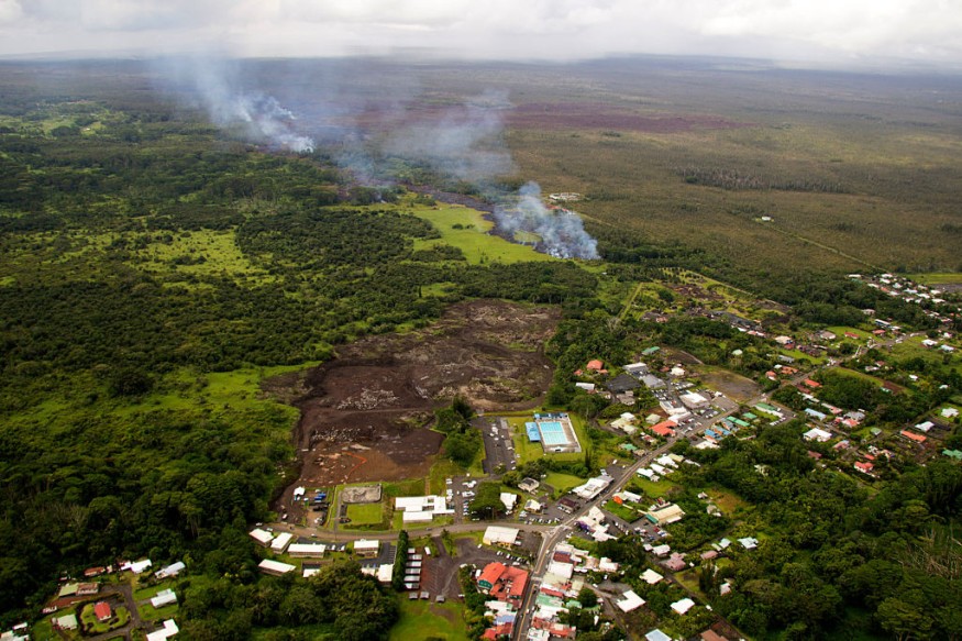
An earthquake at an active underwater volcano southwest of Hawaii shook the Big Island on Wednesday night. No major damages were reported subsequent to the earthquake according to authorities; however, aftershocks could be felt along the rift zones of Loihi, Kilauea or Mauna Loa.
According to the U.S. Geological Survey's Hawaiian Volcano Observatory, the earthquake reached a magnitude of 4.0 and originated under the Loihi seamount, about 20 miles southwest of the Big Island of Hawaii and reached a depth of 7 miles.
Luckily, the earthquake did not trigger a tsunami or any destructive effects on active volcanoes nearby Loihi, specifically the Kilauea, one among the world's most active volcanoes, or Mauna Loa, the largest volcano on Earth. Head scientist at the USGS's Hawaiian Volcano Observatory, Ken Hon, confirmed that the volcanic activity along the summit or rift zones of Big Island remained stable but there is possibility of aftershocks.
Seismic and Volcanic Activity at Loihi
The Loihi seamount in the Hawaiian chain is an undersea mountain rising around 3200 meters above the floor of the Pacific Ocean. It is sometimes known as the 'youngest or submarine volcano' with three craters in its summit. Geographically, both the Loihi and Kilauea volcanoes sit on the border of Mauna Loa volcano, an older, larger, and still active volcano on the Big Island of Hawaii.
In earlier years, Loihi was not known to be an active volcano and was believed to be some common underwater mountain that surrounds the Big Island. However, this idea changed dramatically when scientists found that the volcano is mantled with magma chamber and lava flows just beneath the surface and is actively venting hydrothermal fluids at its summit and rift zone. Although no recorded eruption took place at Loihi, experts believe it has 'explosive and effusive eruptive events'.
Meanwhile, Loihi seamount first experienced shaking when the 1996 Loihi earthquake swarm occurred. Over 4000 Loihi earthquakes were detected by the Hawaii Volcano Observatory's (HVO) seismic network in just two weeks, making this the largest earthquake swarm recorded on a Hawaiian volcano. Seismicity significantly increased in September 2001, followed by 2005 small and large earthquake swarms. Lastly, a small quake hit Loihi in June 2017.
Seamounts May Emerge from the Ocean's Surface
Some scientists believe that the Loihi seamount may one day surface from the ocean and become a new island. Their predictions say that it could happen in about 200,000 years depending on the rate of its eruption.
Generally, seamounts are located near the borders of the Earth's tectonic plates and mid-plate near hotspots and are created by hotspots itself. When plumes of magma rise through the crust and erupt at the seafloor, it often creates chains of volcanoes and seamounts, such as the Hawaiian Islands.
Seamounts are rich in nutrients and fertile habitats for marine life and can provide hard foundations for deep-sea life to live on and grow. Moreover, seamounts are nevertheless a fundamental geological feature and gives us insights into how our planet was shaped.
© 2026 NatureWorldNews.com All rights reserved. Do not reproduce without permission.


