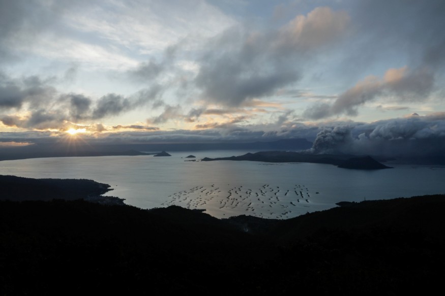
The Taal Volcano eruption in the Philippines this week spewed ash plumes nine miles (14 kilometers) into the air, new satellite imagery shows.
Located on Luzon Island, the Taal volcano started to erupt around 5:30 p.m. local time on Sunday, Jan. 12 (4:30 a.m. EST), says National Oceanic and Atmospheric Administration (NOAA).
NASA and the NOAA captured views of the volcano from space satellites operated in Japan. Photos show the high ash and smoke that spread throughout the island and surrounding areas in the aftermath of the eruption.
"On Jan. 12, 2020, the Himawari-eight satellite captured a photo of the Philippines during the aftermath of Taal Volcano's first volcanic eruption in over forty years," NOAA officers wrote in a statement. NOAA added the eruptive activity, which has been taking place since Jan. 12, has generated steam-laden plumes up to 9 miles tall. The volcanic causing travel disruptions and extreme climate events in and around the area of its area in Volcano Island, south of the archipelago's capital town of Manila."
Clouds of ash have spread more than 62 miles (a hundred kilometers) north, including the capital city of Manila. The Advanced Himawari Imager (AHI) on Japan's Himawari-8 satellite captured visible light and infrared photos of the region. The NOAA shared an animation of the satellite imagery, showing the growth of the steam-laden plumes.
The #Himawari8 ️ viewed yesterday's #eruption of the #TaalVolcano via a combination of visual and infrared bands. The #volcano is the second most active in the #Philippines and spewed #ash more than nine miles into the air. #Taal #TaalVolcano2020 #TaalEruption2020 pic.twitter.com/AteVvj5dM1 — NOAA Satellites (@NOAASatellites) January 13, 2020
The Joint Polar Satellite System (JPSS) also posted on its Twitter account its photos of the volcano's eruption - which become the first since 1977. NOAA said the Taal Volcano is known as the second most active inside the Philippines. The NOAA-20 satellite supplied an infrared view of the eruption, at the same time as the Ozone Mapping and Profiler Suite (OMPS) device on the Suomi National Polar-orbiting Partnership (Suomi NPP) satellite captured strains of sulfur dioxide from the volcano. The JPSS Program shared its side-by-side photos on Twitter.
Yesterday, the #Taalvolcano in the Philippines spewed ash clouds more than 62 miles north of the volcano. #NOAA20 spotted the volcano’s eruption in infrared yesterday, while today #OMPS on #SuomiNPP saw the sulfur dioxide from the volcano. Both images are below #TaalEruption2020 pic.twitter.com/ZdhLRAyRYU — Joint Polar Satellite System (JPSS) (@JPSSProgram) January 13, 2020
In the wake of the eruption, all residents within a nine-mile radius have been ordered to evacuate the area because of the high hazard for subsequent eruptions, decreased visibility, and health concerns, such as infection and respiration problems. Intermittent rainfall is also anticipated in the area, which might also trigger flash flooding or landslides, NOAA officers have said.
© 2026 NatureWorldNews.com All rights reserved. Do not reproduce without permission.


