New York Governor Andrew M. Cuomo assigned National Guard personnel on standby and activated the state's Emergency Operations Center to enhance monitoring mode as a severe winter storm passes through many parts of New York.
The Governor deployed state agency administrators from DOT, DHSES, State Police, and Thruway Authority to regions expected to take the hardest hit from the storm, according to his news release. The hurricanes can create various problems for the returning vacationers, Cuomo had said as he stated that the state emergency response bunker would be open until the end of the storm. He also announced that more than 500,000 tons of salt are ready to help fight black ice and snowy roads.
"[The weather] isn't our first rodeo and we pre-deployed [important] state assets and [staff] to prepare for the storm and maintain the roads - to respond quickly and effectively to this storm and help keep our people safe," he added.
Roads have already begun to freeze on 1-84, I-88, and I-99 in Broome County, Southern Tier Region. More Department of Transportation (DoT) and State Police assets moved to I-84 to help as black ice travels up the highway from Northeastern Pennsylvania. Bus service has been canceled out of Port Authority in New York City to Binghamton, Buffalo, Ithaca, Rochester, and Syracuse until further notice.
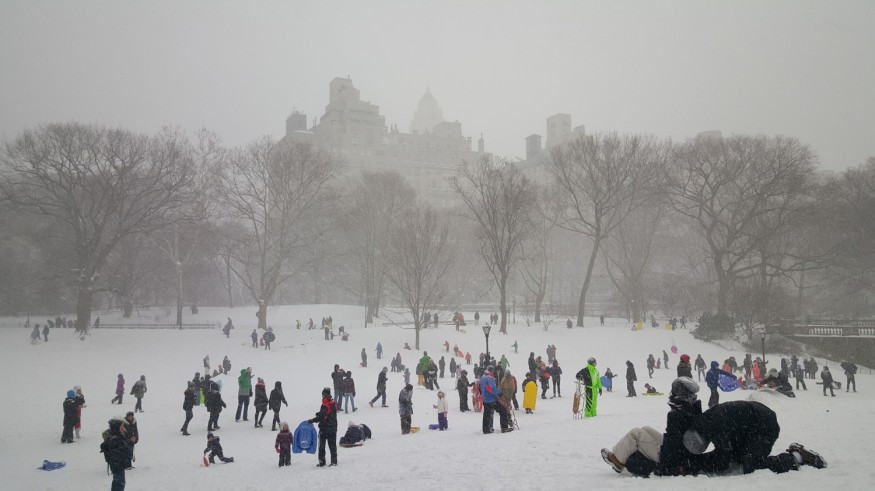
Alternate side parking was suspended in the Big Apple Monday as the New York planned to deal with the coming storm, Mayor Bill de Blasio said on Twitter Sunday.
Alternate Side Parking will be suspended on Monday, December 2nd to facilitate snow response.
We’re encouraging New Yorkers to avoid driving and take mass transit tomorrow, especially in the afternoon when snow will be accumulating. pic.twitter.com/nLOf1II1yS — Mayor Bill de Blasio (@NYCMayor) December 1, 2019
Sleet and freezing rain will continue to hit New York until Tuesday, according to the National Weather Service. The service's New York office said on Twitter that some area roads and walkways would become icy.
Sleet and freezing rain, perhaps mixing with snow at times, will continue to develop over the area through 2 pm. Some area roads and walkways will become icy. Extra caution should be used if out and about early this afternoon. — NWS New York NY (@NWSNewYorkNY) December 1, 2019
Snow started on Sunday in New York as the precipitation moves from the Southern Tier toward the Catskills and Mohawk Valley – including the Capital Region. The most torrential freezing rainfall in the inland areas to the northwest of New York City would be prolonged in varying intensity precipitation Tuesday.
Here's our latest snowfall forecast through early Tuesday morning. Most areas seeing rain/wintery mix tonight. Changeover to snow begins on Monday. See https://t.co/t8cfzoAwxn for the latest. pic.twitter.com/kEZdsSVwcI — NWS New York NY (@NWSNewYorkNY) December 1, 2019
The forecast estimated the most massive snow accumulations in the western Catskills, with totals foreseen to hit two feet. The Southern Tier and Capital District areas could see 12 to 18 inches, while Central New York and the Mohawk Valley are supposed to receive up to 15 inches of snow. Long Island and New York City are getting approximately 1 to 4 inches.
Temperatures will vary from the high 20s to low 40s. Gusts as high as 25 mph are also expected, along with winds which are at 5 to 15 mph, in Long Island, Mid-Hudson, and New York City Regions.
The NWS has issued various watches and advisories for Areas in Western NY, Finger Lakes, Southern Tier, Central NY, Mohawk Valley, North County, Mid-Hudson, and Capital Regions.
© 2026 NatureWorldNews.com All rights reserved. Do not reproduce without permission.


