Meteorologists forecasted that widespread storm would bring severe thunderstorms along Gulf Coast.
They warned that tornadoes could also hit the region.
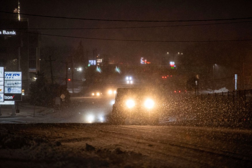
This widespread and impactful storm is expected to bring rounds of accumulating snow across the Plains, which is seen to make impacts in the south.
Storm To Spark Thunderstorms, Tornadoes
Weather experts warned that the chilly northern flank of the storm would run into the warmer, moisture-filled southern flank early this week.
This weather condition is seen to spark the risk for severe thunderstorms along the Gulf Coast states.
Furthermore, if this phenomenon will continue to be present, tornadoes will form and hardly strike areas along the northeast Texas, Louisiana and Mississippi coastlines.
Officials said that a piece of robust energy would bring disruptive thunderstorms that can produce damaging winds, hail and tornadoes to the states along the Gulf Coast.
They further explained that inflow of moisture along the Gulf of Mexico from eastern Texas and southern Louisiana would contribute in the development of thunderstorms across the region.
As moisture is seen to stream northward over the Plains and Mississippi Valley, showers and thunderstorms with heavy rain will develop over the Central Gulf Coast.
Due to this, the Weather Prediction Center has already issued a Moderate Risk of excessive rainfall over the Central Gulf Coast from Monday to Tuesday morning.
Authorities warned that the associated heavy rain would create numerous areas of flash flooding. Moreover, many streams may flood, which will later affect larger rivers.
The showers and thunderstorms will be severe over the Central Gulf Coast on Monday. Therefore, meteorologists has issued an Enhanced Risk of severe thunderstorms over the Central Gulf Coast from Monday to Tuesday morning.
The hazards associated with these thunderstorms are frequent lightning, severe thunderstorm wind gusts, hail, and a few tornadoes.
Following this, there will be an increased threat of tornadoes and severe thunderstorm wind gusts of 65 knots or greater over parts of the Central Gulf Coast.
Weather experts defined a tornado as a narrow, violently rotating column of air that extends from a thunderstorm to the ground.
Because wind is invisible, they noted that it is difficult to see a tornado unless it forms a condensation funnel made up of water droplets, dust and debris.
Tornadoes can be among the most violent phenomena of all atmospheric storms the public may experience.
Read Also : Widespread Snowstorm in Northeast, New England: Flooding, Damaging Winds Likely This Week
Heavy Snow To Continue
Meanwhile, the storm is forecasted to move over the Middle Mississippi Valley to the Upper Great Lakes on Tuesday evening.
Heavy snow will still continue over parts of the Middle/Upper Mississippi Valley, and moderate snow will fall into parts of the Upper Great Lakes. It is forecasted that the snow would start to fall over parts of the Northeast on Tuesday afternoon into evening.
On the other hand, a threat of excessive rainfall will move to the Northeast, Mid-Atlantic, and Southern Appalachians on Tuesday.
Therefore, the Weather Prediction Center has also issued a Moderate Risk of excessive rainfall over parts of the Northern Mid-Atlantic on Tuesday.
The associated heavy rain will also bring flash floods towards numerous areas. Furthermore, many streams may also encounter floods, potentially affecting larger rivers.
Related Article : East Coast, Southeast Weather: Rainy Conditions, Wintry Mix To Unload This Late Week
© 2026 NatureWorldNews.com All rights reserved. Do not reproduce without permission.


