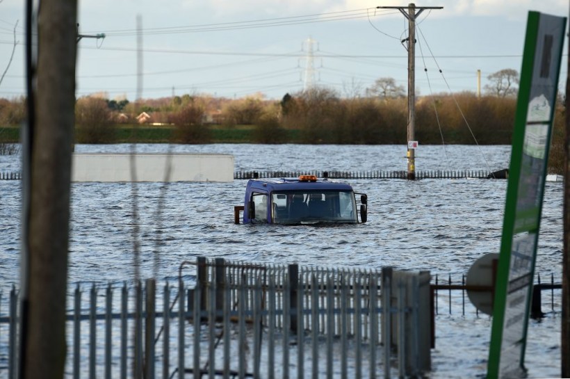
Weather experts said that United Kingdom could experience torrential rains and powerful winds due to Storm Ciaran.
They warned that it could bring a long-standing weather record over the UK.

According to the UK Met Office, destructive winds, massive rains, high seas, and coastal flooding are expected on Wednesday night up to Friday.
Rain, Wind Warnings
Furthermore, experts warned that it will have the potential to break the strongest low pressure recorded in the country.
According to MET Office Chief Meteorologist Dan Suri, a squally cold front will move eastwards across southern and southeast England, bringing bursts of heavy rains and coastal gusts of 60-70mph, mainly from Dorset eastwards.
Suri said wind and rain warnings associated with Storm Ciaran were in force from Wednesday night onwards into Friday, with further updates possible on Wednesday.
These include an amber warning for winds for southwestern parts of England and Wales in the early hours and morning of Thursday, as well as in the far south and southeast of England on Thursday daytime and early evening.
Meteorologists said that Storm Ciaran is expected to bring very strong downpours along the southern coastal areas of England in particular where gusts of 70 to 80mph are possible.
Moreover, gusts could also exceed 85 mph in the most exposed locations. Further inland, gusts could reach up to 50 or 60mph.
"As well as strong winds, this deep low pressure system will bring heavy rain to many parts of the UK," the UK MET Office said.
Read Also: Storm Betty in U.K.: Heavy Rain, Thunderstorms Likely This Weekend
Significant Floodings
Meteorologists said that much of southern England and south Wales, as well as parts of north Wales, northeast England, southeast Scotland and perhaps the east of Northern Ireland would likely encounter the wettest conditions between Wednesday evening and Friday morning.
Furthermore, they said that around 20 to 25 mm of rain may fall quite widely, with 40 to 60 mm possible over higher ground.
Meanwhile, some parts of south Wales and southwest England may also experience 80 mm of rain. This rain will fall on already saturated ground, bringing the risk of floods in most areas.
Kate Marks, flood duty manager at the Environment Agency, warned that significant surface water flooding is possible but not expected in the South East of England, noting that minor river flooding impacts are probable.
Moreover, significant flooding impacts are possible from Wednesday through to Friday in response to the rains brought by Storm Ciaran.
"We advise people to stay away from swollen rivers and urge people not to drive through flood water as just 30cm of flowing water is enough to move your car," Marks said.
Weather experts said that once Storm Ciaran passed, the weather over the weekend continues to look unsettled with more showers and rain at times.
They said that warnings would continue to be updated over the coming days, noting that it is important to stay up to date with the weather forecasts and warnings raised by the MET Office.
Related Article: UK Weather Forecast: Possible Wintry, Rainy Conditions Likely to Unfold This Week
© 2024 NatureWorldNews.com All rights reserved. Do not reproduce without permission.


