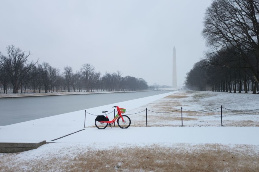
An Arctic cold front is set to envelop a large swathe of the Continental United States this week, according to weather forecasts.
The National Weather Service (NWS) said the combination of air coming from the Arctic region and existing moisture across the sub-continent could pave the way for a widespread area of dangerous travel conditions from Monday, January 30.
NWS meteorologists warn that freezing rain and drizzle with some ice sleet is expected from parts of Texas to the Ohio and Tennessee Valleys.
The forecast adds the said areas will get a taste of the current season's winter weather system, which follows the bomb cyclone or winter hurricane in late December 2022. Recent winter storms in the US resulted in chaotic travel and disruptive weather hazards.
Dangerous Arctic Cold
The massive Arctic blast will bring areas of rain or freezing rain, stretching from the Southern Plains to the Ohio Valley. Snow will also hit parts of the Central Rocky Mountains and towards the Great Basin, Southwest, and California. A lake-effect snow will also hover from the Great Lakes to the Central Appalachians, according to the Weather Prediction Center (WPC) of the NWS.
In its previous forecast, the WPC on Saturday, January 28, stated the cold front will lead to extreme frigid temperatures and life-threatening wind chill across the northern tier of the US, which includes the following regions: Great Plains, Mississippi Valley, and Northwest. The initial forecast was also covered by Nature World News on Sunday.
The prediction center also said dangerously cold temperatures and wind chills are possible across the Northern Plains and Upper Midwest until early week, adding below normal temperatures across the central-northern Plains to interior parts of the Pacific Northwest, as cited by CNN.
In addition, the center stated the current Arctic winter system will bring the coldest weather since Christmas across the region, with locations like eastern Montana to northern Minnesota likely retaining their cold temperatures until Tuesday, January 31.
Winter Storm Warnings
As of 10:00 a.m. local time on Monday, 50 million Americans were under winter weather alerts, including watches and advisories, amid warnings of a potential strong icing event affecting at least 15 states across the country, USA Today reported.
NWS Meteorologist Craig Snell emphasized sleet and freezing rain will cause widespread hazardous travel conditions in the coming days. In the latest forecast, USA Today highlights the following winter weather developments:
- Ice accumulation for three days could exceed 0.5 inch over areas of central Texas and Arkansas.
- A winter storm warning remains in effect in the Dallas-Fort Worth area until 6:00 a.m. on Wednesday, February 1.
- Wind chill warnings and wind chill advisories have been issued by US weather authorities from Oregon to Wisconsin.
In its latest weather advisory, the NWS warns about the Arctic outbreak that will invade the Texas and Oklahoma Panhandles, as well as urges Americans to brace themselves.
© 2026 NatureWorldNews.com All rights reserved. Do not reproduce without permission.


