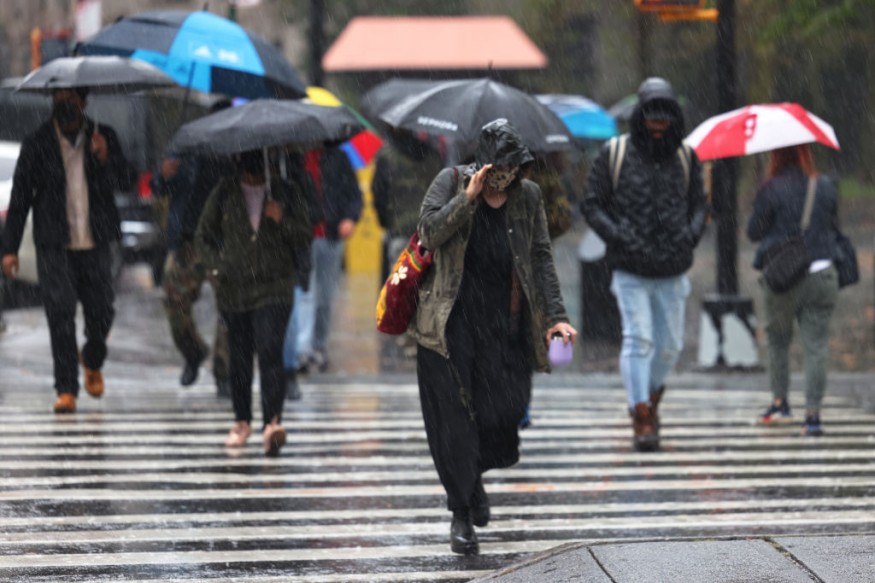
High winds could spike temperatures in the South US, while a cold weather could persist in the Northeast US due to an approaching coastal storm, according to the latest forecast.
NWS Forecast

The National Weather Service (NWS), through its Weather Prediction Center (WPC), on Sunday, January 15, issued a short-range forecast that strong southerly flow and down-sloping winds ahead of a low pressure system in the Rockies will lead to high temperatures of up to 20 to 30 degrees above normal.
In addition, a Northeast coastal storm could bring snow and ice starting Monday, January 16.
The forecast also highlighted the occurrence of showers and thunderstorms in the states of Mississippi, Ohio, and Tennessee Valleys.
Meanwhile, a combination of freezing rain, sleet, and snow will expand from the High Plains into the Upper Midwest.
Snow accumulation and ice development are expected from eastern South Dakota to southern Minnesota and northern Wisconsin, the NWS outlook says.
The US weather agency also reported that the first storm system that brough heavy rain and flooding across California on Saturday, January 14, is moving through the Great Basin and towards the Rocky Mountains, ahead of another system that will move inland the West from the Pacific Ocean by early Monday.
Also Read: California Storm Death Toll Increases to 18 as Persistent Wet Weather Affects the West Coast
South US High Winds
The said winds ahead of the low pressure system will cause high temperatures in the 60s for parts of the Central Plains and Southern Plains starting on Sunday afternoon, which will spread into the southern and central Mississippi Valley on Monday.
High temperatures in the 70s are anticipated for many locations in Texas with some temperatures in the 80s for southern Texas on Monday.
These high winds could be an ingredient for critical fire weather conditions across the South US, according to the agency.
A high wind means sustained wind speeds of 40 miles per hour or greater which lasts for at least one hour or winds of 58 miles per hour or greater that lasts indefinitely, according to US weather authorities from the NWS and the National Oceanic and Atmospheric Administration (NOAA).
Northeast Coastal Storm
The expected snow and ice in the Northeast US mentioned by the NWS is due to a coastal storm in the form of a Nor'easter.
Over the weekend, AccuWeather meteorologists have been monitoring a Nor'easter developing off the Atlantic coast with a movement pattern suggesting it would hit Boston and the New England region of the US by early week.
The Northeast coastal storm or winter storm is anticipated to bring the said weather hazards, which is typical during the midst of the winter season.
In the coming days this week, disruption to travel and businesses is possible across the region, which experienced a powerful bomb cyclone or winter hurricane in late December, resulting in multiple deaths.
In early 2022, a Nor'easter pummeled the Northeast with ice, rain, snow, and wind, prompting a winter storm warning from Pennsylvania to Maine and affecting millions of Americans, ABC News reported.
© 2025 NatureWorldNews.com All rights reserved. Do not reproduce without permission.


