The latest weather forecast warned that a developing storm could unload mountain snow and torrential rain in the Rockies and Northwest, which could result in significant travel delays for many Americans preparing for the Holiday rush.
With almost a week before Christmas, the holiday would be noticeable as many Americans would rush to the malls and supermarkets. Christmas is one of the most-awaited holiday celebrations.
However, the first week of December began with severe weather conditions that unloaded in portions of the United States, with heavy snow and rain. Meanwhile, tornadoes also emerged in Alabama, Mississippi and Louisiana.
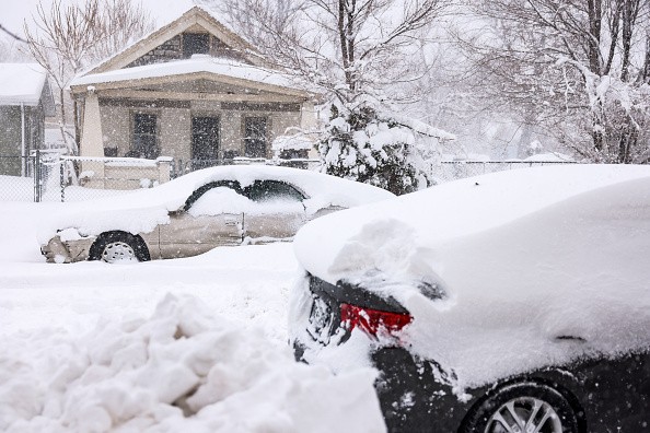
The challenging beginning of December led to slow commutes and massive travel disruptions due to severe weather conditions. On the other hand, AccuWeather's latest report showed that a developing storm could unleash heavy mountain snow and torrential rains in portions of the Northwest and Rockie, including in Seattle and Denver.
Residents or motorists traveling to the Northwest, Rockies, Seattle and Denver should take note of the weather conditions.
AccuWeather forecast (on December 21, 2022) revealed that the mountain snow and rain could persist in the affected regions, impacting the holiday and travel commutes.
Weather forecast
The weather outlook for snowfall on Tuesday showed that snow could unload in the Northwest, adding portions of the Cascades and Olympic Mountains could expect heavy snow.
AccuWeather's outlook showed snowfall could unload in Steven Pass, Snoqualmie Pass, White Pass, Bennett Pass, Willamette Pass, Santiam Pass, Olympia and Seattle.
- The forecast added that residents in Bellingham could expect more snow reaching about three to six inches.
- The forecast added that portions of Salt Lake and Denver could expect snow on Wednesday night or Thursday morning.
- The forecast from Wednesday until Wednesday night said that snowfall could cause ve noticeable, including in areas in Bozeman, Jackson, Salt Lake City, Grand Junction, Aspen, Denver, North Platte, Scottsbluff, Casper and Rapid City.
The snow accumulation could be challenging for many motorists traveling to affected areas due to wet and slippery roads. It is better to check weather updates and road hazards before traveling.
On Wednesday afternoon and Thursday afternoon, sharply cooler weather is expected as many could note the warmer to hotter temperatures.
Based on the forecast, sharply cooler could be noticeable in Idaho Falls, Elko, Salt Lake City, Rapid City, Denver, Omaha, Wichita, Kansas City, Oklahoma City, Sioux Falls, Minneapolis, Fargo, Lubbock, Amarillo, Elko, Idaho falls and raid the city.
AccuWeather's forecast noted that strong winds could also unveil this Thursday until Thursday night. The forecast explained that the weather on the said day could result in travel delays, road closures, road accidents, damaging wind gusts and localized power.
The forecast explained that strong Thursday winds could unload in Aspen, Rapid City, Oklahoma, Dallas, San Antonio, Houston, New Orleans, Jackson, Little Rock, Chicago, Minneapolis, Sioux Falls and Salt Lake City.
The weather could be challenging due to the cancellation of classes. According to the forecast, Thursday night to Saturday could unload in Olympia, Portland and Salem.
For more similar stories, don't forget to follow Nature News.
© 2025 NatureWorldNews.com All rights reserved. Do not reproduce without permission.


