Mountain flooding is threatening Eastern Kentucky again as excessive rainfall is expected to inundate the state next week, according to the latest weather forecast.
The looming inclement weather can potentially cause the accumulation of several inches of water due to flash flooding triggered by mountain slopes and other geographical factors in a short period of time.
The adverse weather is also anticipated to bring torrential rain in Kentucky but also to inundated areas of the Ohio Valley and Tennessee Valley; where flooding can affect both urban and rural areas.
In addition, floodwaters from inland bodies of water like lakes, rivers, and streams could also threaten the region as a whole in the coming days.
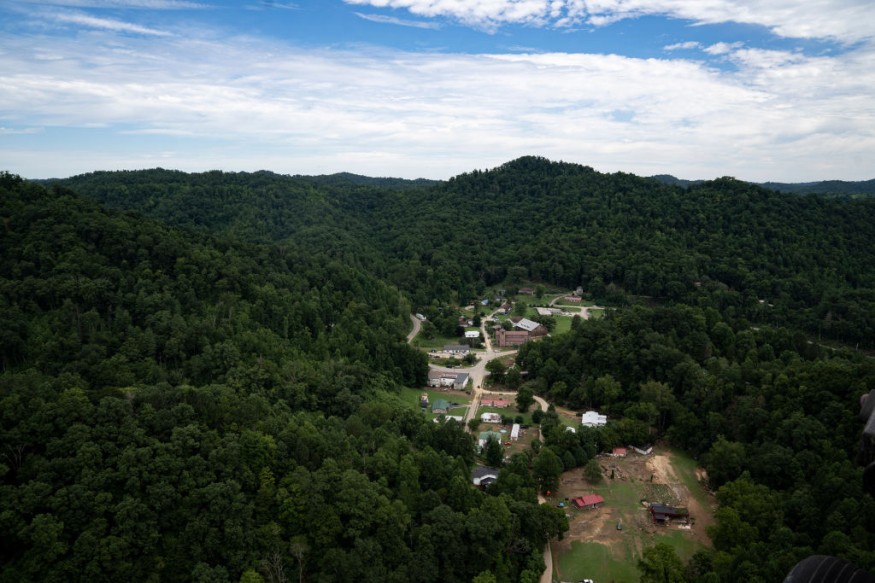
The renewed flood threat has been reported as some communities in the eastern mountainous regions of Kentucky are still recovering from the deadly floods in late July.
The recent natural disaster killed at least 37 people with hundreds remain unaccounted for, as confirmed by local authorities.
Amidst the forecast, fears over a similar reoccurrence.
In recent weeks, severe storms with heavy rain have threatened the Midwest and Appalachians regions, causing a number weather hazards which includes flash flooding, which is common.
However, US weather authorities highlighted that the geographical slope of mountains adds to the increased risk of the rapid rise of floodwaters.
Kentucky Flooding Threat
AccuWeather meteorologists on Saturday, August 6, issued a warning that further rain is on the way even after Kentucky's deadly flooding last week, which left a number of residents without running water or electricity.
The meteorologists say a series of downpours are expected to traverse in the "same hard-hit regions" into the upcoming week.
In the Ohio and Tennessee River valleys, an additional one to two inches of rain could be added to the flood-affected areas of the regions.
While a separate weather system, a stalled frontal boundary has started moving further south from the Great Lakes region into the said valleys.
This creates an environment that favors heavy rain, according to the weather forecasting company.
Meanwhile, the Weather Prediction Center (WPC) of the National Weather Service (NWS) also confirmed on Saturday there is a moderate risk of excessive rainfall over the mentioned regions by Sunday, August 7.
Kentucky Flooding Disaster
Kentucky Governor Andy Beshear on Monday, August 1, confirmed the death toll during a press conference, adding that the figure could still increase as rescue workers continue their operations in inundated communities of Eastern Kentucky, as cited by CNN.
The recent massive flooding led to the displacement of thousands of Kentuckians, as raging waters destroyed establishments and infrastructure, including homes, roads, and bridges.
What is Mountain Flooding?
The catastrophic event in Eastern Kentucky of such magnitude have reportedly never been seen in the state for the past several decades.
Nevertheless, previous reports said that the so-called "mountain flooding" greatly contributed to the fast accumulation of floodwaters.
According to National Severe Storms Laboratory (NSSL) of the National Oceanic and Atmospheric Administration (NOAA), mountains and steep hills can lead to rapid runoff.
These causes water levels along streams to rise quickly than normal, as well as saturated soils saturated sols to yield in flash flooding.
© 2025 NatureWorldNews.com All rights reserved. Do not reproduce without permission.


