Flash flooding threat continues in some parts of the province of British Columbia, Canada as of Wednesday, July 13.
The ongoing flood risks are part of a series of forecast provided by Canadian weather authorities in recent months regarding the dangers behind delayed snowmelt, which was supposed to take place during the country's spring season from March to May.
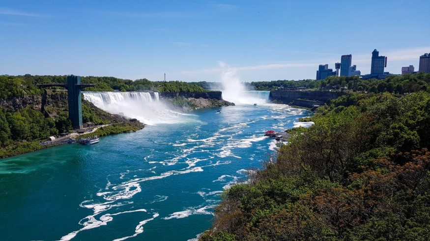
The latest developments show that B.C. authorities issued a flood watch for the Chilcotin region due to the rising river levels.
This is a result of intense heat and heavy rainfall, wherein both contributed to rapid snowmelt, as well as river level rise, and eventual flash flooding.
Earlier this year, a combination of inland flooding and overland flooding due to torrential rain have gripped B.C. and other provinces of Canada.
With the start of the summer season in June, which is marked by scorching temperatures and dry conditions.
The threats of heat and wet weather were hinted by experts in May, indicating that mountain snow pack and frozen water could melt ice simultaneously.
Similar to the United States, Canada is also susceptible to floodwaters and other weather-related natural disasters.
In May, a high-impact "derecho" event or thunderstorm complex reportedly struck areas in Quebec City-Windsor corridor, killing at least 10 people and resulting in widespread infrastructural damage.
Chilcotin Flood Watch
The B.C. River Forecast Centre (RFC) on Wednesday placed the Chilcotin region under a flood watch, according to Global News.
The so-called "flood alert" covers both Chilcotin River and Chilko River, as well as their surrounding and connecting tributaries.
The RFC said that the combination of "very warm temperatures" in the latter part of June and "moderate rainfall" in early July have led to high stream river flows across the region, as cited by the Canadian media outlet.
Rising River Levels
The centre added that river levels reached their peak between July 4 and July 8, rising over the past 24 hours due to the warm weather.
The following areas of concern in terms of flow rates are indicated on the list below:
- Area of Chilcotin River near the Hanceville Water Survey of Canada gage
- Area of Chilko River near Redstone
- Area of Taseko River on the outskirt of Taseko Lakes
Canada Severe Weather
Over a week ago, heavy rain pummeled the city of Prince George in connection with the severe storms across the southwestern B.C. region.
The Canadian government's Environment Canada department reported that around six millimeters of heavy downpour soaked the city's airport, as cited by the Canadian Broadcasting Corporation (CBC).
The public weather agency has called for the possible continuance of thundershowers during that time.
In addition, weather forecasters say such climatic conditions create the avenue for more localized flooding. However, the specific locations at risk and rainfall intensity are still unclear, according to CBC.
Related weather events, including flooding due to snowmelt, severe weather, and torrential rain, are still possible to continue across B.C. in the next few weeks and months.
© 2025 NatureWorldNews.com All rights reserved. Do not reproduce without permission.


