A tsunami of unimaginable proportions, due to a major earthquake sooner or later, may inundate Seattle with high-level floodwaters in a matter of several minutes, according to a computer simulation from a new study conducted by the Washington State Department of Natural Resources.
The discovery reportedly breaks existing notions that the city is susceptible to such hazards of immense magnitude than previously thought.
US government scientists assert that a 7.5 magnitude earthquake in the Richter scale could trigger a tsunami wave as high as 42 feet that could reach Seattle's shorelines, submerging them under more than 20 feet of water.
The series of tidal waves could reach some points. of Alki Point, Elliott Bay, and Bainbridge Island within three minutes.
The findings entail that people in the city would only have few minutes to react and evacuate before the earthquake-triggered tsunami could reach inland areas. The fresh research suggests that potential alternatives could be made on the side of local authorities, including the city's residents, to find alternative means.
Multiple sources show that early warnings and evacuation measures could be the determining factors that could mitigate or avert a potentially catastrophic natural disaster. The measures are in terms of avoiding casualties. However, the simulation shows that infrastructural damage is imminent.
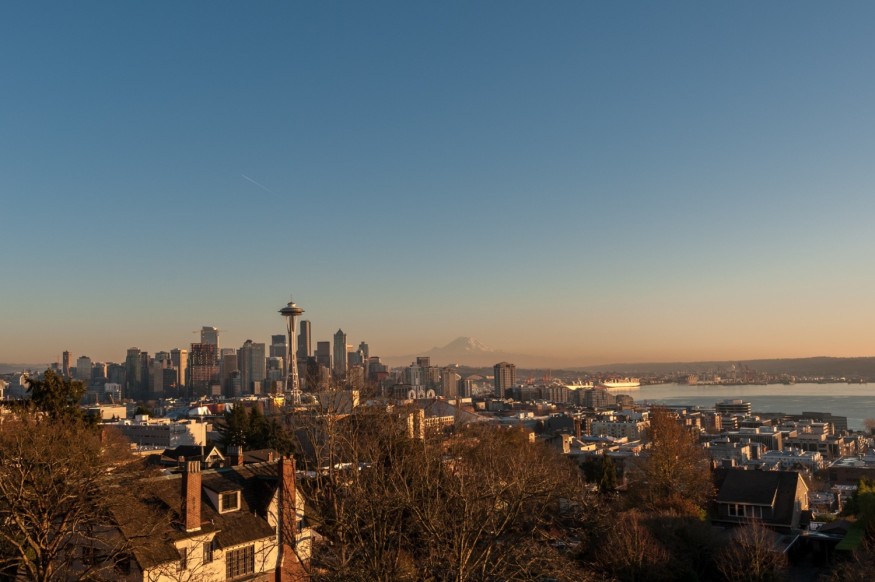
Seattle Major Earthquake Simulation
The study published on Thursday, July 7, focused on the Seattle Fault Zone, where the impending major earthquake could transpire under Puget Sound, Washington, could occur with only a matter of time.
The models show that the tsunami could be as high as the Seattle Great Wheel and reach even as far as Lumen Field and T-Mobile Park. Other areas in the city could also be reached by the massive tidal waves.
During a news conference at the Seattle waterfront, Public Lands Commissioner Hilary Franz, stated it would only take three to five minutes as a short timeline which separates a "seismic event" before the tsunami waves' arrival to Seattle's shores, as cited by The Seattle Times.
Seismic Data Reference
The Washington government agency used new data on the elevation and topography, which includes a more comprehensive perspective on Seattle's location, relative to the looming major quake and deadly tsunami. The data is larger from the previous studies not only in Seattle but also in Tacoma and Everett published in 2003, 2009, and 2014, as cited by USA Today.
The occurrence of a destructive, lethal earthquake off the Seattle coast is highly likely since it is still within the 'Pacific Ring of Fire,' a horse-shoe shaped region from Western Pacific to the Eastern Pacific Ocean beneath the Earth.
The region is seismically active due to the movement and friction between tectonic plates. This results in the frequent volcanic eruptions and earthquakes in the affected territories, including the Pacific Northwest, the Western United States, and all areas adjacent to west coast of the Americas.
In Asia, Japan, the Philippines, and other countries in Southeast Asia and Oceania are vulnerable to the edge of the Pacific seismic zone.
Related Article: 5.6-Magnitude Earthquake Has Been Detected off the Coast of Oregon
© 2025 NatureWorldNews.com All rights reserved. Do not reproduce without permission.


