A 4.2-magnitude earthquake occurred north of the San Francisco Bay area in Northern California at 4:57 a.m. local time on Tuesday, June 28, according to the United States Geological Survey (USGS).
Nearly 20 aftershocks below 2.0-magnitude transpired after the quake.
There were no immediate reports of earthquake casualties.
The seismic event and succeeding tremors raised concerns of a potential major earthquake waiting to happen in the region.
In fact, a USGS long-term earthquake forecast suggested that a major quake is likely before 2032.
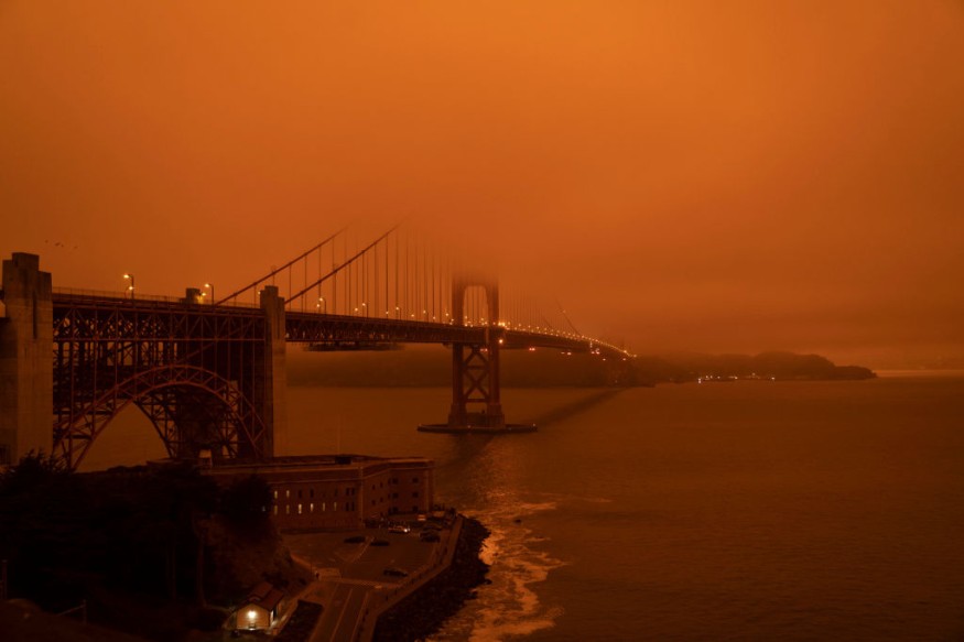
Northern California Earthquake
The USGS said the epicenter of the earthquake transpired two kilometers west-northwest of Cobb in Lake County, California.
It had a depth of 0.5 kilometers, which means that its intensity is not relatively strong compared to deeper earthquakes under our planet.
Despite its moderate impact, the earthquake was reportedly felt by dozens of people as far as Santa Rosa and Petaluma, as cited by The Sacramento Bee.
Aftershocks Swarm
Earthquakes occur along fault lines, which are segmented by different block of rocks. A slip on a fault makes the movement and friction of rocks possible relative to each other.
The said motion between the rocks paves the way for the occurrence of an earthquakes, as well as its so-called lesser version of aftershocks and earthquake swarms.
Aftershocks are considered to be geological vibrations or seismic waves which normally transpire after a main identifiable earthquake.
They can vary in numbers and intensity depending on strength of the main earthquake, as well as the location of the event.
According to the University of Southern California (USC), the skid is primarily caused by excessive stresses in the Earth's outer layer which pushes the fault's side together.
The sudden slip releases energy in the form of waves through the rocks which we feel as tremors during earthquakes.
California's Largest Earthquakes
In the last 150 years, the state has experienced several earthquakes, wherein some caused widespread infrastructural damage, multiple deaths, and economic damage worth billions of dollars, according to the California Department of Conservation.
In 1857, a 7.9-magnitude earthquake occurred in Fort Tejon, killing two people but leaving a 220-mile surface scar.
In 1906, a 7.8-magnitude earthquake in San Francisco potentially killed 3,000 people and displaced 225,000 inhabitants.
Previous research also showed that California is at risk of experiencing a megaquake in the future.
This is based on an increased likelihood from seismic data, suggesting the state is subject to a potentially catastrophic geological event within the so-called San Andreas Fault.
Regardless, the prediction is not surprising since California is situated within the seismically active region of Pacific Ring of Fire.
Pacific Ring of Fire
Tectonic plate movements are highly dynamic within the Pacific Ring of Fire, a horse shoe-shaped region across the Pacific Ocean, which includes California and all of its adjacent areas and territories in the western coast of the Americas.
Within this region, earthquakes and volcanic eruptions are common, affecting countries in the Americas as far as Chile, Ecuador, Mexico, and Colombia.
In Asia, the stretch of the Ring of Fire reaches Japan, the Philippines, Indonesia, and even New Zealand in the Oceania continent.
© 2026 NatureWorldNews.com All rights reserved. Do not reproduce without permission.


