Monsoonal moisture will bring torrential rain with flash flooding over the southwestern United States and the Rocky Mountains from early to mid-week, according to the National Weather Service (NWS).
Low-lying areas and communities near rivers and lakes are at risk from floodwaters.
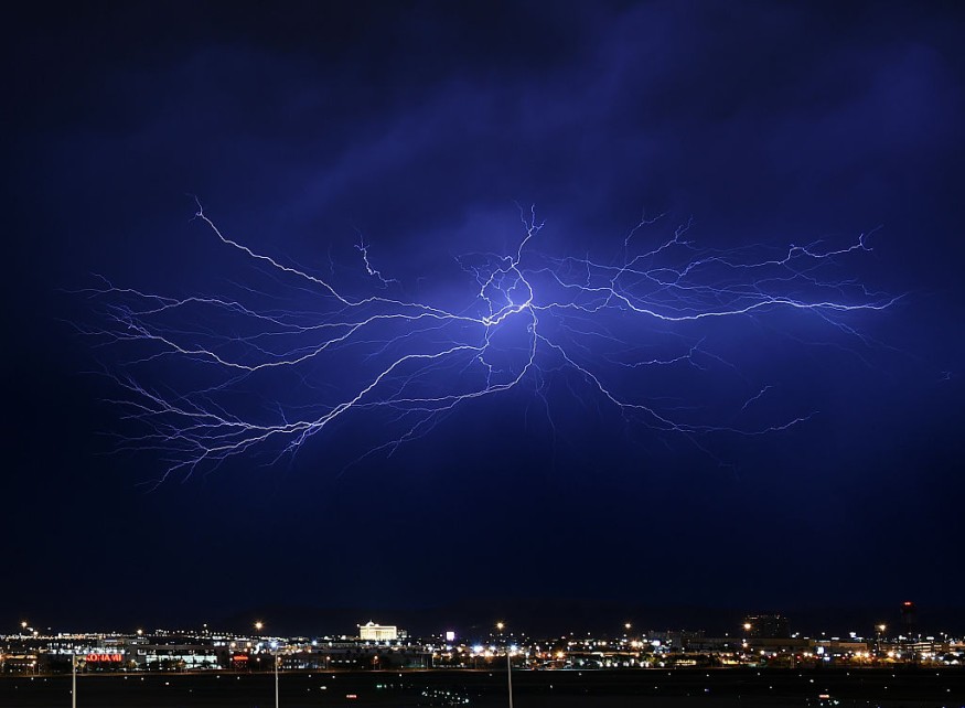
While prolonged drought conditions are in place from west Texas to Arizona, the localized heavy rain will also be accompanied by thunderstorms.
With this, the potential elevation into a severe weather could lead in large hail, strong winds, and even tornadoes.
The weather forecast comes as extreme heat and wildfire incidents had struck the some parts of the region in recent weeks, shattering all-time high records of hot temperatures and resulting in several casualties.
With this, a number of reports indicated that the looming downpour can be considered as a beneficial rain in the drought-stricken region.
Rainfall is expected to replenish depleted natural and water reservoirs, as well as quench out existing wildland fires.
Monsoon Rainfall
On Sunday, June 26, the NWS' Weather Prediction Center (WPC) in College Park, Maryland, has issued again its short-range forecast which is valid from Monday to Wednesday, June 27 to June 29.
Under the latest weather forecast, the so-called monsoon rainfall or monsoonal moisture will continue to break dry conditions and humidity the Southwest US and the Rockies.
In the next few days, additional rounds of rain showers and storms will potentially impact the said region with a "Slight Risk" warning of excessive rainfall being issued for most parts central-northern New Mexico and southern Colorado.
Rainfall accumulation between one and two inches could also pave the way concerns for rapid runoff and flooding, especially near "burn scars."
These weather phenomena are expected to subside from Tuesday, June 28.
Also Read: Meteorologists Issue Storm Alert for Thunderstorms and Tornadoes to Central US from Midweek
Severe Thunderstorms
In other forecast, the WPC highlights the possible occurrence of isolated severe storms across the southern Great Lakes, upper Ohio Valley, and Tennessee Valley on Sunday evening.
The US weather agency explain a cold front, advancing toward the eastern and southern US, will cause the inclement weather.
The greatest risk of the looming slow-moving storms are damaging wind gusts and frequent lightning, as well as isolated flash floods due to intense rainfall rates.
This could continue until Monday, and possibly extend in the coming days.
Meanwhile, the NWS' Storm Prediction Center (SPC) supplements the WPC forecast by underlining that a "Marginal Risk" posed by thunderstorms will also affect some parts of the Northeast US, East Coast, South US.
Some portions in the northern and southeastern parts of the country will also be hit by the storms from Monday.
The SPC provided some of the following high-population areas that will be affected:
- Buffalo, New York
- Charleston, South Carolina
- Pittsburgh, Pennsylvania
- Tampa, Florida
- New Orleans, Louisiana
- Dallas, Texas
- Albuquerque Nex Mexico
- Phoenix, Arizona,
- Cincinnati, Ohio
Power outages are likely to occur during the adverse weather, which was responsible for cutting electricity supply of hundreds of thousands of Americans in the past several weeks.
Last week, severe storms brought down trees and knocked out power lines, resulting in widespread blackouts in Pittsburgh, according to CBS News.
© 2025 NatureWorldNews.com All rights reserved. Do not reproduce without permission.


