New Mexico is expected to receive a heavy downpour with flash floods due to a "monsoonal rain" this week, according to a warning by the National Weather Service (NWS).
Thunderstorms could also cause flooding across the state, particularly in areas affected by ongoing wildfires, including the Hermits Peak/Calf Canyon Fire.
The inclement weather is reportedly caused by a so-called "monsoonal moisture," which could affect not only New Mexico but also eastern Arizona and southern Colorado.
Strong winds can also bring down trees and power lines, causing potential power outages.
Extreme weather is common in New Mexico and other states across the Southwest, which is dominantly marked by the occurrence of wildland fires due to intense heat and prolonged drought.
As a result, the forecasted heavy rain the Land of Enchantment could help dose out the ongoing fires.
Monsoon Rain and Flash Flooding
The NWS' Weather Prediction Center (WPC) in College Park, Maryland, on Monday, June 20, issued the inclement weather warning for New Mexico, which will be valid from Tuesday to Thursday, June 21 to June 23.
This is the US weather advisory of the NWS as of Monday evening but further updates are still possible in the coming hours.
The short-term outlook serve as a weather forecast update of the extreme heat wave, also called "dangerous heat" or "heat dome," over the Central US and its surrounding areas this week.
In the new advisory, the said monsoon moisture will fuel the large-scale showers and thunderstorms across the Southwest and southern Rockies.
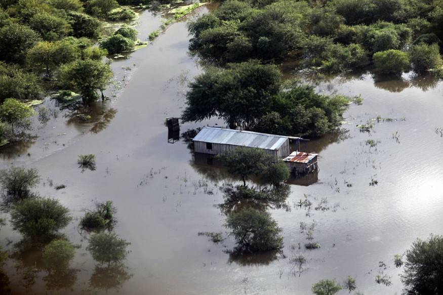
The US weather agency predicted that this adverse weather can result in the rapid rise of floodwaters.
The monsoonal rain forecast comes more than a week after a combination of torrential rain and snowmelt led to flash floods at the Yellowstone National Park.
The flood was due to the rise of river levels in the region, according to The Washington Post.
New Mexico Flooding Threat
The WPC said localized rainfall amount will range between two and three inches from Tuesday evening until Wednesday, June 22.
It also gave a "Slight Risk" out of a three-tier scale level of excessive rainfall for most parts of New Mexico.
In addition, dry lands across Mexico could be inundated by running floodwaters as part of the state's heavy rainfall potential, including in areas with "burn scars."
The looming monsoon has been considered to bring "beneficial rain" in the Southwest, as well as in the Western US, according to AccuWeather forecasters, as cited by the United Press International.
The earliest forecast of the monsoon was back on Saturday, June 18.
However, the AccuWeather forecast reminds that localized heavy thunderstorms, increased mountain snowmelt, rapid creek and river overflow, and mudflows are still the greatest risk in the coming days.
For a number of years, the aforementioned US regions have recorded abnormally hot temperatures and dry conditions due to drought.
With this, the various weather forecasts suggested that the region could take a break from extreme heat after all.
© 2025 NatureWorldNews.com All rights reserved. Do not reproduce without permission.


