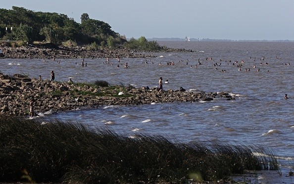
On Tuesday, parts of the UK are expected to bask in 27C (81F) heat, but there is a risk of floods as thunderstorms wash in first.
The Met Office has issued a yellow weather warning for thunderstorms that will affect the majority of southern England and portions of South Wales, including Cardiff.
Thunderstorms in the UK
 (Photo : ALEJANDRO PAGNI/AFP via Getty Images)

It started at 8 p.m. on Sunday and will go on until 5 a.m. on Monday.
According to the Met Office, there is a "small danger that houses and businesses might be swiftly inundated."
"Lightning strikes or hail" are also possible.
On Monday, the high temperature in the east of England is expected to be 23 degrees Celsius (73 degrees Fahrenheit), with 19 degrees Celsius (66 degrees Fahrenheit) in Belfast and 20 degrees Celsius (68 degrees Fahrenheit) in the northwest of England and North Wales.
On Tuesday, temperatures are expected to reach 27 degrees Celsius (81 degrees Fahrenheit) in East Anglia, 24 degrees Celsius (75 degrees Fahrenheit) in the southwest of England, and 18 degrees Celsius (64 degrees Fahrenheit) in northern Scotland.
According to Sky News forecaster Jo Wheeler, Monday will be a warm day in the south with a "muggy feel to the day."
"Eastern sections of the nation should experience a great day with sunshine and a high of 27C" on Tuesday, she added.
After that, temperatures will drop a few degrees, with eastern England returning to 23 degrees Celsius on Thursday.
It goes on to say that driving might become hazardous, and that power outages are possible.
Although the exact locations of the thunderstorms are unknown, a few localities may see a combination of heavy rain, frequent lightning, and hail on Sunday night, according to a statement.
If thunderstorms form, they are expected to continue north from the south coast through sections of south Wales, southern England, and East Anglia tonight before gradually dissipating on Monday morning.
Read more: Heatwave to Hit the UK in April and Climate Change is to Blame: Met Office Forecast
Other places will be dry
While some areas may remain dry, others may have 20-30 mm of rain in less than an hour, with frequent lightning and hail as additional threats.
The rain and thunder are caused in part by increased humidity caused by higher temperatures.
"Further north will be drier and with clear skies, it will feel considerably fresher here away from the humid air down over southern areas," Met Office forecaster Simon Partridge said.
And that's how we're starting on Sunday morning: gloomy with some rain in the south.
A few showers are just making their way into Scotland's southwest.
During the day, however, the sun will shine, the cloud will break, and temperatures will rise once again.
And in the southeast, highs of 25 degrees are possible, making it the warmest day of the year thus far.
However, with that warm and humid air, more showers will begin to move in from the south again over the overnight hours.
Again, thunder is possible in several southern sections of the country.
Rain, heavy in places continuing north, followed by sunny spells and a few heavy showers. A fine end to the day across many central and southern areas. Warm again.
Very warm, especially in the southeast on Tuesday although some possible in the west. A mixture of sunny spells but also heavy showers or thunderstorms thereafter, particularly in the south.
Related article: April Heatwave 2022: IMD Issues Forecast for Extreme Heat Across India
© 2024 NatureWorldNews.com All rights reserved. Do not reproduce without permission.


![Chimpanzee Behavior: Chimp Wars Show That Murder and Violence are Not Exclusive to Humans [Report]](https://1471793142.rsc.cdn77.org/data/thumbs/full/70473/280/157/50/40/chimpanzee-behavior-chimp-wars-show-that-murder-and-violence-are-not-exclusive-to-humans-report.jpg)

