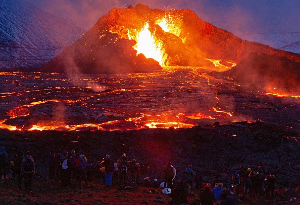
Cascades Volcano Observatory geophysicists have discovered a modest increase in the rate of uplift of the earth's surface around 3 miles (5 km) west of South Sister volcano, Oregon, using satellite photos and advanced GPS sensors.
Despite previous episodes of higher uplift in this area, the volcano's warning level and color code remain NORMAL / GREEN. Scientists have discovered a resurgent uplift near the South Sister volcano, according to Scitech Daily.
Discovering Uplift
An uplift of around 0.9 inches or 2.2 cm (about the breadth of an adult's thumb) happened throughout an area 12-mile (20-km) in diameter between the summers of 2020 and 2021, according to data from satellite radar photos.
According to UGC Berkeley, since August 2021, GPS data from a volcano monitoring site near the center of uplift has recorded at least 0.2 inches (0.5 cm) of elevation.
In October 2021, December 2021, and January 2022, seismologists witnessed short bursts of minor earthquakes. The majority of these shallow earthquakes are too tiny to be correctly pinpointed, situated inside the raised region.
Monitoring Seismic Activities
Dan Dzurisin, a USGS geologist, is in Central Oregon near Sisters to set up portable GPS monitoring equipment to follow something going on for 25 years and is still going on. It's uplift, or a little increase in the ground's surface, west of the South Sister volcano.
Uplift was initially seen on radar satellite photography in the mid-1990s. The USGS and the Forest Service collaborated to establish permanent monitoring stations to track the rate of uplifting in the region.
Every summer, Dr. Dzurisin also installs GPS stations to collect data on ground deformation. While radar satellites provide a broad image of the area, these temporary GPS units provide exact readings of how specific locations have moved. Dr. Dzurisin and summer intern Natalea Cohen demonstrate how the semi-permanent GPS stations are put up and discuss the significance of the work.
Magma flowing around beneath, or more specifically, magma rising from a deeper depth in the earth to a shallower depth, can create uplift by forcing the surface to rise higher across a wide region. Surprisingly, this process has resulted in just a few earthquakes. So, if you're not looking for it using satellite radar data or another type of data, occurrences like this may have happened in other locations, including Central Oregon, and we just weren't aware of it.
Seismic Activity
USGS scientists are carefully and extensively monitoring this activity. They will continue to do so for as long as it provides a better understanding of the process.
In the mid-1990s, uplift occurred in the same general area. The region grew around 12 inches or 30 cm (the height of a 2-liter soda bottle) at its center throughout the 25 years between 1995 and 2020. Although the present rate of uplift is lower than the peak recorded in 1999-2000, it is significantly higher than the pace seen for several years before 2020.
Small pulses of magma collecting at around 4 miles (7 km) below the earth's surface are thought to be responsible for the uplift. While any magmatic intrusion might eventually result in a volcanic eruption, observable and more powerful earthquakes, ground movement (deformation), and geochemical changes would almost always precede such an eruption. In general, when magma rises during an intrusion, it causes uplift to continue or accelerate, cracks rock, causes swarms of earthquakes and releases large volumes of volcanic gases like carbon dioxide. We are presently unable to identify any of these indicators.
Read also: Long Valley Supervolcano: World's Most Dangerous Volcano Shows Signs of 'Imminent Eruption'
For similar news, don't forget to follow Nature World News!
© 2026 NatureWorldNews.com All rights reserved. Do not reproduce without permission.


