Alaska's extreme weather has delivered record high temperatures and torrential downpours, prompting authorities to issue an "Icemageddon" warning.
Alaskan Icemageddon
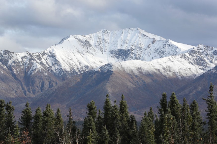
Massive ice sheets are blocking highways and limiting traffic in Fairbanks, Alaska's second biggest city, according to the state's transportation agency, which has developed the neologism-a play on "Armageddon"-to characterize the icy standoff.
The agency tweeted, "We're seeing an unparalleled succession of winter storms."
According to scientists, unmanaged fossil fuel combustion and other human activities alter the climate, making it more unpredictable and prone to violent fluctuations.
Over the previous several days, the weather conditions have been described as "extremely exceptional" by Rick Thoman, a meteorological specialist at the University of Alaska, Fairbanks.
After temperatures on Kodiak Island in the south hit 19.4 degrees Celsius (67 degrees Fahrenheit), the highest December temperature ever recorded in Alaska, the interior of the state received 25 millimeters (an inch) of rain in only a few hours, a downpour not seen in decades.
Then, as the temperature dropped again, everything froze.
The rainfall was brought on by the same weather system that produced the record-breaking temperatures, moving warm, moist air from Hawaii to the freezing north.
"Of course, with a warming climate, this type of thing-record high moisture content, record warm air-is precisely what we expect."
Unpredictable weather continued to wreak havoc on flights into and out of Seattle's Sea-Tac International Airport this week, with hundreds of flights canceled or delayed.
Snow and continuous rain are also causing issues in California, with isolated floods requiring evacuations in the Los Angeles region.
The tourist destination of Lake Tahoe, which was blanketed in thick snow a few months ago after forest fires forced inhabitants to leave, has been shut off from the rest of the state.
According to the Central Sierra Nevada Snow Laboratory at the University of California in Berkeley, more than five meters of snow has fallen on areas of the Sierra Nevada mountain range this month, an all-time high.
A layer of above-freezing air forms ice on top of a layer of sub-freezing temperatures closer to the surface.
Ice Storm
Frozen precipitation melts into rain when it falls into the warm air layer, then refreezes in the cold layer underneath it. If the rainfall refreezes while still in the air, it will become sleet and fall to the earth. The liquid droplets can also continue to fall without freezing by passing through the chilly air immediately above the surface. The rain is then cooled to a temperature below freezing by this thin layer of air. However, the droplets themselves do not freeze, a process known as supercooling (or forming "supercooled drops"). When supercooled droplets hit the ground or anything below 0°C (e.g., power lines, tree branches, airplanes), a coating of ice forms as the cold waterfalls off, progressively accumulating into freezing rain.
Forecasts
Even though meteorologists can anticipate when and where an ice storm will occur, some storms nonetheless happen without notice. The majority of ice storms in the United States appear in the northeast, although catastrophic storms have occurred further south; an ice storm in February 1994 resulted in massive ice accumulation as far south as Mississippi, and damage was documented in nine states.
For more news about the environment , don't forget to follow Nature World News!
© 2025 NatureWorldNews.com All rights reserved. Do not reproduce without permission.


