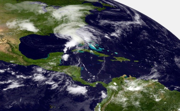
Atlantic hurricane season is beginning to pick up the pace. On Monday night, Tropical Storm Bill formed off the eastern coast of the United States, and worries continued for tropical development in the Gulf of Mexico.
Tropical Wave
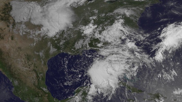
Another feature started thousands of miles away, producing waves on the opposite end of the ocean. A section of the distant eastern Atlantic that is usually hostile to tropical systems this period of the year was being closely examined by AccuWeather forecasters. A tropical wave emerged off the African coast over the weekend and was sited to the south of the Cabo Verde islands close to 20 degrees west.
Expert Dan Kottlowski of AccuWeather Hurricane said: "The tropical wave coming off the coast of Africa is one of the most powerful if not the most powerful of the year so far." A tropical wave is a region of scattered showers and thunderstorms that tracks across the Atlantic Ocean from Africa to the Caribbean and Central America, mostly during the height of tropical season.
The tropical wave was observable on satellite blanketed by dry air and dust from the Saharan Desert, Kottlowski added.
Saharan Dust Vs. Strong Tropical Wave
Dry air that is ingested into a developing tropical system can slow down the development of showers and thunderstorms and make the feature to dissipate. This dust can play a part in whether or not this tropical wave progresses into a more organized tropical system in days to come.
AccuWeather Senior Meteorologist Alex Sosnowski said the interaction of the Saharan dust and the powerful tropical wave as they track to the west will be a dynamic circumstance. The wave may remain distant enough away from the dust in its own environment to let organization take place.
Other factors that can promote or impede tropical development are sea-surface temperature and winds that alter speed and direction at various levels of the atmosphere, referred to as wind shear. The sea-surface temperatures ahead of the tropical wave are marginal for development, according to Kottlowski.
Increased Wind Shear
However, once this wave gets to about 50 degrees west it will run into much warmer water, but it may have to handle an increased wind shear. The development possibility for this tropical wave is presently categorized as low by AccuWeather forecasters. Kottlowski also added that where the core of the tropical low forms in relation to 10 degrees north can also decide if an organized system develops or not.
If the low forms to the north, it will stay in the marginally warm water, but if it forms farther south it will be sited over even warmer water. Kottlowski added: "Given that the tropical wave has some broad rotation already in the cloud field, it could end during the next two days."
Related Article : 2021 Pacific Hurricane Season: Tropical Storm Carlos is Third Storm to Form in Gulf of Mexico
For more news, updates about tropical storms and similar topics don't forget to follow Nature World News!
© 2026 NatureWorldNews.com All rights reserved. Do not reproduce without permission.


