The National Trust has spotted out climate change dangers to its stately countryside, coastline, and homes. The charity said the map sketches an exact image that will assist plan interventions to save its territories. This will then enable the organization to spot the exact regions where the interventions are needed.
They said this could involve planting trees to slow peat bog restoration, water run-off to hold back water, identifying places, or river restoration that needs more shade due to too much heat.
The data is established on a worst-case procedure where emissions of heat-trapping gases remain undiminished.

Well Drafted Data Reveal Plans Against Climate Change
The data collected by the organization to make the map disclose if there were no intervention on emissions before 2069, the figures of National trust areas at medium or high risk of hazards relating to climate could grow in 2020 from 30 percent (20,457) to 71 percent (47,888) in 2060 out of an overall 67,426 places.
Areas confronting an increased level of threat from the possible flooding or elevated heat could surge from 5 percent to 17 percent across the next 49 years, the map predicted. The map will be used to locate pear bog restoration to tree planting or flooding to give shade to locations probably to suffer increased temperatures. National Trust director for nature and land Harry Bowell explained that "While the data draws on a worst-case scenario, the map shows an exact picture of the resources we have ready."
Bowell disclosed that the government can play a role by bolstering its regional bill investment in green infrastructure, jobs, industries, and the growing sectors that will provide us to handle and adjust to the effects of climate change before the coming together of world leaders. But by going now, we can adapt to a lot of these risks by working with nature.
The map designs the likely effects of unusual humidity, landslides, heat, shifting, and shrinking ground, coastal erosion, and rapid winds this year and 2060.
Plans in-Place Against Future Climate Change
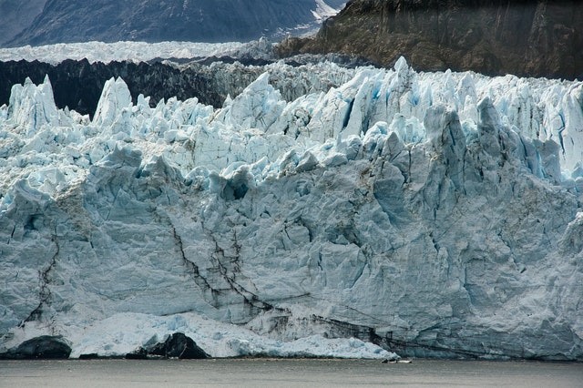
Future disasters involve many landslides in a coastal area such as the huge Causeway in Northern Ireland, flood and storm damage to historic edifices, extreme humidity and heat at stately residences such as Ham House in London. The map uses data from many sources and plants them in a hexagonal grid over all Wales, Northern Ireland, and England where the National Trust regulates.
A representative for the independent Climate Change Committee, which instructs the government, disclosed that this map will benefit our study and examination into the exposure and vulnerability organization country most vital and delicate heritage places to future climate change.
National Trust Areas
The publishing of the map arrived months ahead of a crucial climate summit to be held in Glasgow where the meeting of the world leaders will take place to propose a worldwide plan on how to handle the climate problem.
The organization cautioned of such a scene as humidity and heat rapidly increasing, the southeast of England would be especially sensitive to harsh increases. One of three National Trust areas in the place will encounter a least 15 days of 30C a year.
RELATED ARTICLE : NDC Synthesis Reports Showed How Far Countries Are From Meeting Paris Agreement's Climate Goals
For more news, updates about climate changes and similar topics don't forget to follow Nature World News!
© 2026 NatureWorldNews.com All rights reserved. Do not reproduce without permission.


