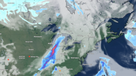
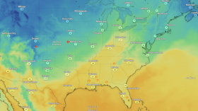
This week NOAA announced the retirement of a flagship satellite, the GOES-12, which has been supplying the agency, weather forecasters and scientists with data from many of the major weather events of the past decade.
GOES-12 captured data from Hurricane Katrina in 2005, the blizzard that crippled the Central US in 2009 and since 2010 it has been covering South America.
NOAA's Geostationary Operational Environmental Satellite (GOES)-12 was launched on July 23, 2001 and has lasted well beyond its intended lifespan of two years for on-orbit storage and five years of actual operations to support forecasters and scientists.
"GOES-12 gave the Western Hemisphere many years of reliable data as the operational eastern GOES for accurate forecasts, from small storms to those of historic proportions," said Mary Kicza, assistant administrator for NOAA's Satellite and Information Service.
When NOAA decommissions a geostationary satellite like GOES-12, it orders it to take to a higher altitude, burn off its remaining fuel, drain and disable its battery and switch off its transmitters. The maneuvers reduce the risk of the decommissioned satellite of interfering or colliding with other operational spacecraft, NOAA said.
After GOES-12 is fully decommissioned, NOAA will still have two other GOES satellite in orbit, numbers 13 and 15.
GOES-14, a backup satellite, is also in orbit and can be activated if any of the active satellites experience trouble.
A future generation of the geostationary satellites known as GOES-R, which are expected generate images with double the clarity of the current models, will be launched in the future.
© 2024 NatureWorldNews.com All rights reserved. Do not reproduce without permission.


